Chris Lowe
Moderator-
Posts
2,057 -
Joined
-
Last visited
Content Type
Profiles
Forums
Events
Gallery
Blogs
Store
Everything posted by Chris Lowe
-
I have 2 of these car starter battery bank thingies and they are designed to charge phones and other devices as well.
-
I still have that badge on my hat.
-

-
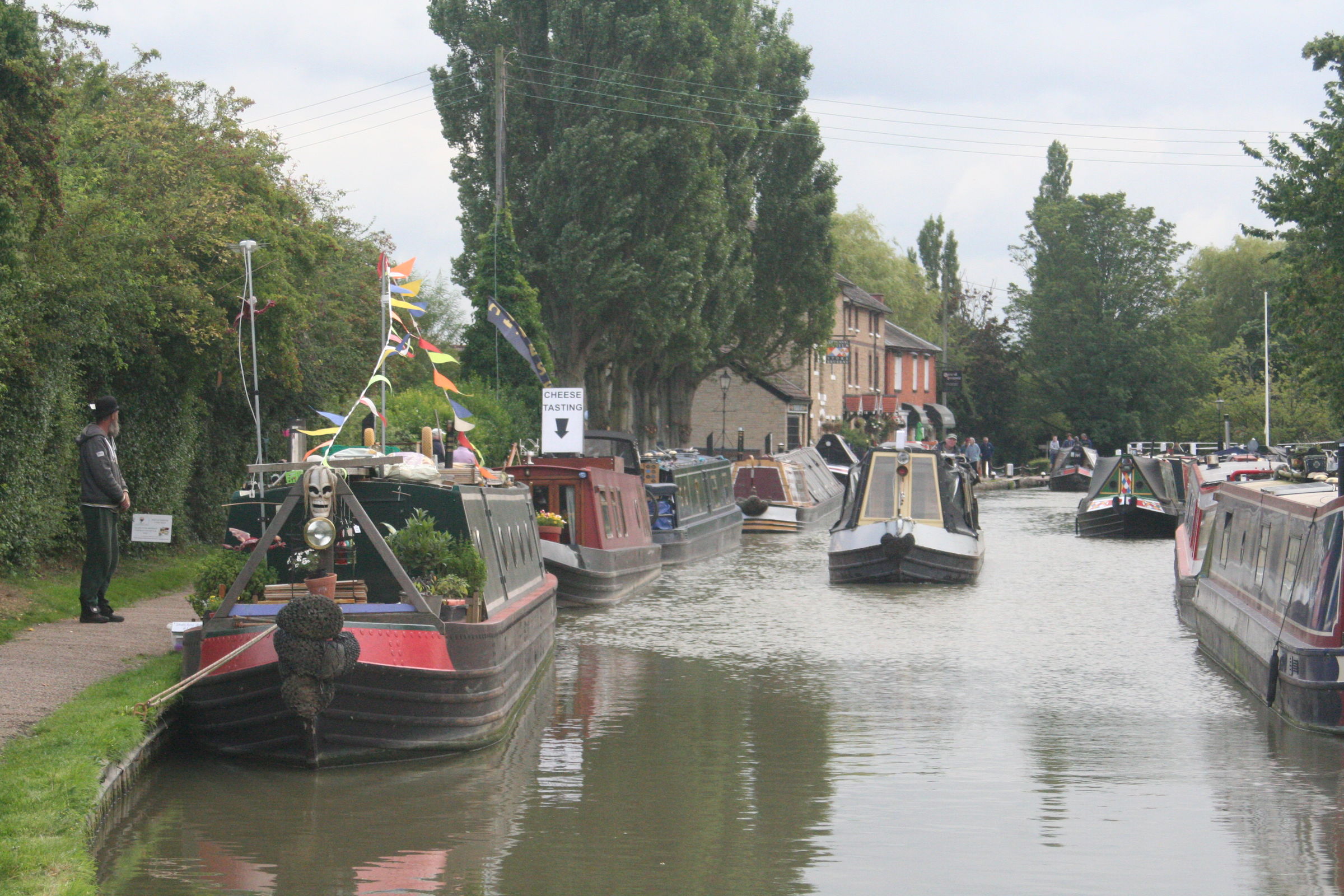
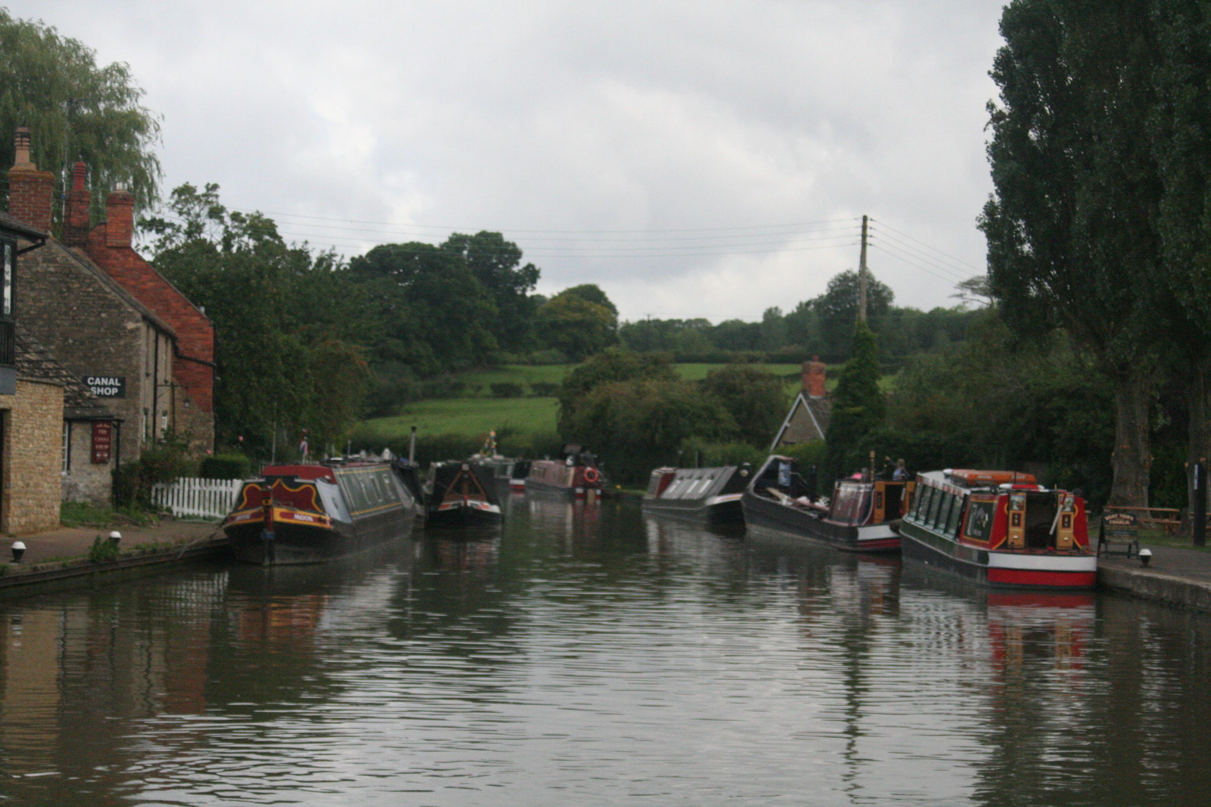
With total disregard and just because there's a canal there I may chuck Woolwich Arsenal at you.
-
-
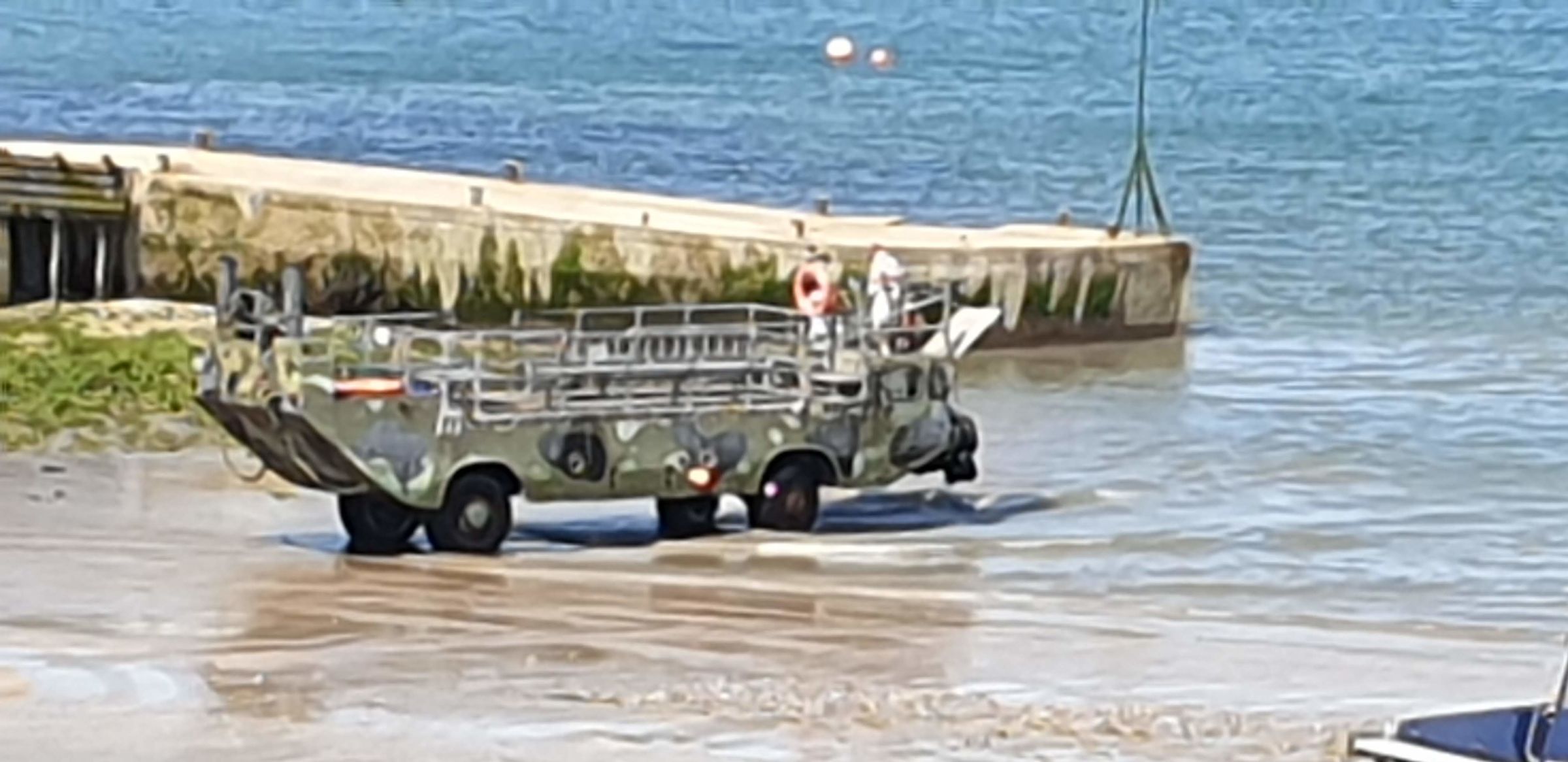
 Sorry about the poor quality of this it was on max digital zoom on the phone. Caldey Island amphibious vehicle that is used when the tide is out to get from beach to trip boat.
-
Google Earth Canal & River Map. (Canalmaponline)
Chris Lowe replied to Chris Lowe's topic in History & Heritage
Thats a useful site thanks. CRT website has that lock East Fen listed as a future resatoration project -
Could be one of these, Bofors gun tower and brick observation tower.
-
Google Earth Canal & River Map. (Canalmaponline)
Chris Lowe replied to Chris Lowe's topic in History & Heritage
Thanks I have downloaded that map from the IWA, also a big help is the Waterway Routes Fossdyke & Witham map & cr5oss referencing that with OS maps on NLS but there are ares need clarifying, old OS maps show locks on the Hobhole Drain at Lade Bank pumping station, so would there have been a lock at Hobhole Sluice? -
-
Google Earth Canal & River Map. (Canalmaponline)
Chris Lowe replied to Chris Lowe's topic in History & Heritage
Map no updated with Leominster Canal, Wisbech canal, Horncastle canal, and Stamford canal features, now working on the Witham Navigable Drains. -
Maybe we should now have a Mornington Crescent thread.
-
Perhaps he meant Finchley Central
-
-
I suppose that calls for
-
Would his comment be I'm a Doctor not a lab rat
-
You should have a read of Kens website it's an absolute mine of information, he checked my Stamford canal map for me.
-
Wisbech Canal Wisbech Flood Lock Outwell Flood Lock
-
yes it is I posted in a hurry at work
-
This post cannot be displayed because it is in a forum which requires at least 10 posts to view.
-
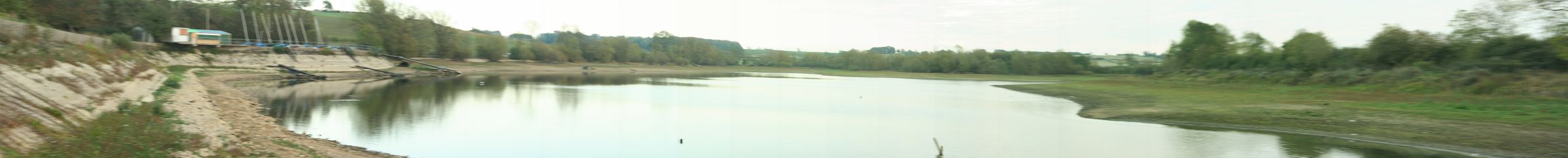
Braunstone 2017 A very dry Saddington Reservoir 2013.
-
Would you count this one Patrick? Stamford canal at West Deeping, the highlighted bit is the site of a flood lock and West Deeping bridge, info taken from Ken Otters excellent website on the canal Stamford Canal
-
-
No this is an inclined plane.
-
Old postcard of unidentified bascule bridge
Chris Lowe replied to MickGooch's topic in History & Heritage
Wind in to about 3:57 a double bascule bridge in Weesp