Heartland
-
Posts
3,697 -
Joined
-
Last visited
Content Type
Profiles
Forums
Events
Gallery
Blogs
Store
Everything posted by Heartland
-
Whenever the heights of canals are mentioned it is now based on the ordnance datum at Victoria Dock, or was from 1844. Bradshaws map (1832) was based on a depth that was 6ft 10 inchws below the "sill" Old Dock at Liverpool and this has led to discrepancies in heights between the Bradshaw map and the later data quoting heights. For example Tring Summit according to Bradshaw was 405ft 6in where is now regarded as 395 od. Such a fact raises the question of determining height at the time of canal building and how measurements changed with the ordnance survey.
-
Cost of construction was an important factor in the narrow boat network. The Worcester & Birmingham tried to build a 14ft barge canal and did so from Birmingham to Tardebigge and the Stratford upon Avon also did so from Kings Norton to Hockley Heath and the Ashby Canal was also made wide. The main factor for the first two converting to narrow boat use was cost of completion for these two waterways. In the third the developing narrow boat network where such craft proved the best form to move goods appears to be the main factor why narrow boats were used on that waterway. Whilst bulk transit did not compare with the wide waterways of the North, the types of goods conveyed was a factor that also needs to be considered. Wool and Cotton were bulky items and their transport was more suited to the wider craft. It is true that Manchester Packs were moved by narrow boat, but this trade was less than from the coast. The Midlands still had barge traffic to Worcester, Stourport and Shrewsbury along the Severn and Evesham/ Straford upon Avon along the Avon. The Trent and Soar served the East Midlands and so bulk transport was enabled to the Midland perimeter from different directions and for the narrow boat to move on further. Also the practice of working narrowboats in pairs, created a state of volume traffic that was comparable with the capacity of a barge hold. With regards to the Leeds and Liverpool Canal, this waterway was itself a mix of waterways, with the Douglas Navigation being shown on Bradshaws Map (1832) as separate. As was the Lancaster Canal from Wigan to Johnson's Hillock. Bradshaw mentions Johnsons Hillock Locks as part of the LLC but I understand were also built by the Lancaster. Charging of tolls must have made transit from Wigan to Blackburn complicated, at least until the time when both waterways were united under the single LLC.
-
Yes the Rixton and Warburton Act was passed in 1863, but that bridge no longer spans the river, but a dried up and partly infilled section of the Mersey & Irwell Navigation. I have heard that the MSC Act continued those tolls. Warrington Council have tried in the past to change this situation, but so far have failed.
-
I bet there were Lumberjacks there too. But then timber was an important traffic for both the Upper Severn and the Ellesmere Canal
-
The North- South divide is somewhat oversimplified and bespeaks a passion for the wide waterways of Lancashire & Yorkshire. Any unbiased discussion has to include not just the Midland narrow canals and the LLC/A&C but the Trent, the Weaver, the Severn, The Nene, the Great Ouse and all those interconnecting waterways and levels in the east of England as well as the Thames, Wey Arun, Medway, Stour etc.
-
The Three Bridges thread includes the Cantilever Rail Bridge that is the Forth Bridge. Warburton High Level Bridge is another cantilever steel bridge, which takes the toll road over the Manchester Ship Canal from Warburton to the A57. It is popular with motorists wishing to avoid motorway congestion, but at times leads to congestion at Warbuton whilst drivers queue up to pay the 12 pence toll. This local congestion is a frequent annoyance to residents and somebody decided to take matters a step further with the burning down of the toll booth in the early hours of May 10th. The owners Peel Ports have decided to replace the booth with a temporary structure and intend now to upgrade the road, and weight limit on the bridge. The new toll office came into use on June 20th. This toll road also includes a disused bridge that was the original toll bridge sanctioned under the 1863 that crossed the Mersey & Irwell Navigation and towing path between Butchetfield and Owlet Nest Locks.
-
Went past the boat yesterday and there had been little done, and still no name...
-
Yes, it is true that the core network of the British Canal network came about in Brindley's time where a group of like minded people came together to discuss and plan this network. Engineers such as James Brindley and his colleagues created this network. It is possible to see such men as Wedgewood discussing such concepts at meeting of the Lunar Society. This happened at a time when the turnpikes were being created and extended. Exactly how those beliefs were formed has been discussed in many historical texts, whether even now the complete story has been unravelled totally, is probably not the case as what has been written about depends on recorded information and not the spoken word or opinions or views that were not recorded. Yet such things were a driving factor in those schemes that united the Mersey, Severn and Trent. There was also dissent and varying opinions in that mix. Opposing views of people like Samuel Garbett eventually led to other canal schemes and the wider expansion of the network that has been dubbed by some as the period of the "Canal mania". Yet what was constructed in the Grand Cross was limited often to the size of a narrow boat and the key suggestions made throughout the twentieth century were ways to improve and widen these waterways. Construction methods of the time were a limit to to waterway construction and improvement. River improvement had been on going long before the Grand Cross. Mike Clarke often talks about the group of engineers responsible for improvements of the Calder, Aire, Mersey & Irwell that steadily brought navigation upstream from the tidal sections further inland. For some those skills are seen as a beacon moment for canals being built, others realise the mode of constructing mill streams and bringing water to the mill wheel was another skill used in making the fledgling canal network. Was this second case the "light bulb" moment? Was it a combination of both? Or in fact a combination of various factors. Once the canal network was up and running the next conflict was with the railways. Carrying goods in wagons was first limited to the edge rail tramroads and plateways, both of which had limited wagon capacity. That capacity increased with the making of the railway network. Wagon loads increased to 8, 10, 12 and 16 tons through time. There were many wagon loads and often the sheer volume led to congestion. For canals the handicaps were the locks and narrow tunnels where trade was delayed, For the railways the sheer volume of goods traffic at some places also was a delay. I recall one of the goods guards at Curzon Street in Birmingham telling me in the 1970's of the occassion's he would sit in a brake van for a whole shift without the turn of a wheel. But that was in the days many loads of coal came down to the Midlands for the gasworks, power stations and the many merchant yards. So for the Leeds & Liverpool and the BCN movement of traffic was often cost effective by canal. Yet there was always the improvement of waterways in Europe where larger craft became the norm. In Britain there are less examples of waterway improvement (19th & 20th Century) and on not on the scale as in mainland Europe: 19th Century BCN- New Main Line, Walsall Junction Canal, Netherton Tunnel, Tame Valley, Rushall & Cannock Extension Canals Ellesmere & Chester Middlewich Branch Oxford Canal Coventry- Napton Manchester Ship Canal Severn Gloucester- Stourport Trent & Mersey- 2nd Harecastle Tunnel, lock doubling Kidsgrove- Wheelock and removal of stair case locks with parallel standard lock flights 20th Century Aire & Calder Leeds to Goole Grand Union, Birmingham- Braunston via Napton New Junction Canal Sheffield & South Yorkshire Navigation downstream from Rotherham River Trent above Nottingham River Weaver What was proposed in the Twentieth Century was intended to redress that balance
-
The Railway Clearing House was not an operator, but a means of distributing moneys between railway companies. So that goods traffic and passengers and parcels that were sent over different railway operators routes could have the charges and costs appropriately distributed. Canals charged tolls for their routes and whilst some through tolls existed, or came to exist, there was no organisation for the canal traders, as far as I can see. Please correct me if that was the case for the Leed/Liverpool/ Bridgewater-MSC/ Aire and Calder etc. Now with the railway owned canals, it would be an interesting exercise if railway interchange or canal traffic was dealt with in any way by the RCH.
-
Barnton Tunnel is 572 yards long, and at present is not a timed tunnel. I have a recollection that it once was, others have posted this recollection before also, but my recollection is from 1998 taking an Anderson Hire boat through and waiting there. Still making it timed is also a solution, but having all three tunnels timed might be considered an inconvenience.
-
Well a token system also might work, as long as the boater remembers to put the token in the device at the other end of the tunnel and not go away with it. Also what happens if it gets dropped in cut. Still traffic lights fail also and CRT may not pay t tricity bill. Also a token system may well require a barrier at both ends that is activated by the token...
-
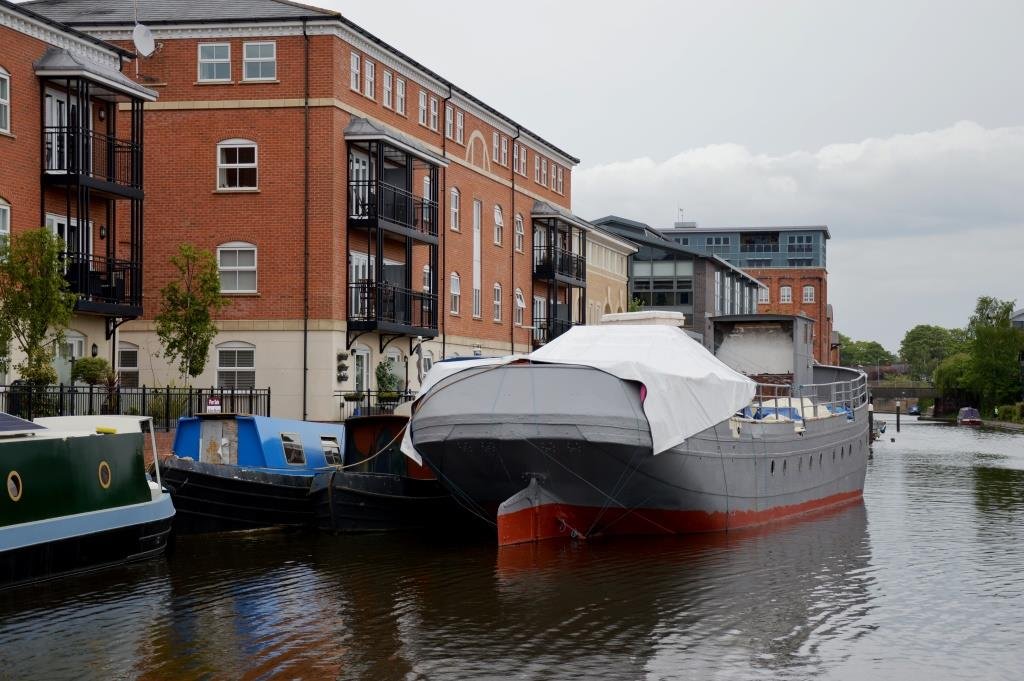
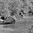
In May I noted this rather large craft at Diglis Basin. I suppose it must have been wide enough to pass the barge locks, but there was no name on this vessel to be seen.

-
Modern technology could be used to install a traffic light system to regulate traffic. There is an operating example at Birmingham Airport where buses pass both ways through the underbridge of Bickenhill Lane. It is a single carriageway and buses wait at the red light that goes green allowing the bus to proceed. Barnton is not the only tunnel where boats could meet inside. Perhaps CRT should investigate this issue.
-
I was thinking, Mike, of the lock under the station through which boats accessed the Aire below the weir. As to the warehouse, there is always much to learn about trade and traffic
-
Once the railways had improved signalling and there was a will to co-operate through the Railway Clearing House, the battle of speed was won by the railways in a railway canal contest. Carriers moved on to the bulk market. Those blocks of salt the corner shop sold were sometimes carried by boat, as the demand became not time critical. There were many uses for canal and river traffic for that trade that was not time critical and this even true today for bulk rubbish and gravel. The 1965 IWA interim report advocated some 250 ton barge links in the North East: (1) Improvement to the River Aire from the Ouse with a new link to the Aire & Calder Canal east of the junction with the Selby Canal and a branch canal from that to Eggborough Power Station (2) The reinstatement of the River Don from Goole to Stainforth & Keady Canal with a branch to Thorne Moorend Colliery (3) A branch from the Sheffield & South Yorkshire Navigation to Thorpe Marsh, Bentley, Carcroft and Askern (4) A branch from the Sheffield & South Yorkshire Navigation, at Mexborough, to Manvers Main Colliery, Darfield and Barnsley (5) Reinstatement of the Barnsley Canal to Wakefield, but not the Aqueduct (6) A new canal from Long Sandall, Sheffield & South Yorkshire Navigation, to Rossington, Harworth Colliery to meet up with the River Idle (7) River Idle improvement from the Trent to East Retford (8) Reinstatement of the Dearne & Dove Canal to Barnsley These were massive changes....
-
Yes, thanks that will fit the description Shipley Lock on the Erewash instead of a lock on the private Nutbrook. Yes there was a railway branch:
-
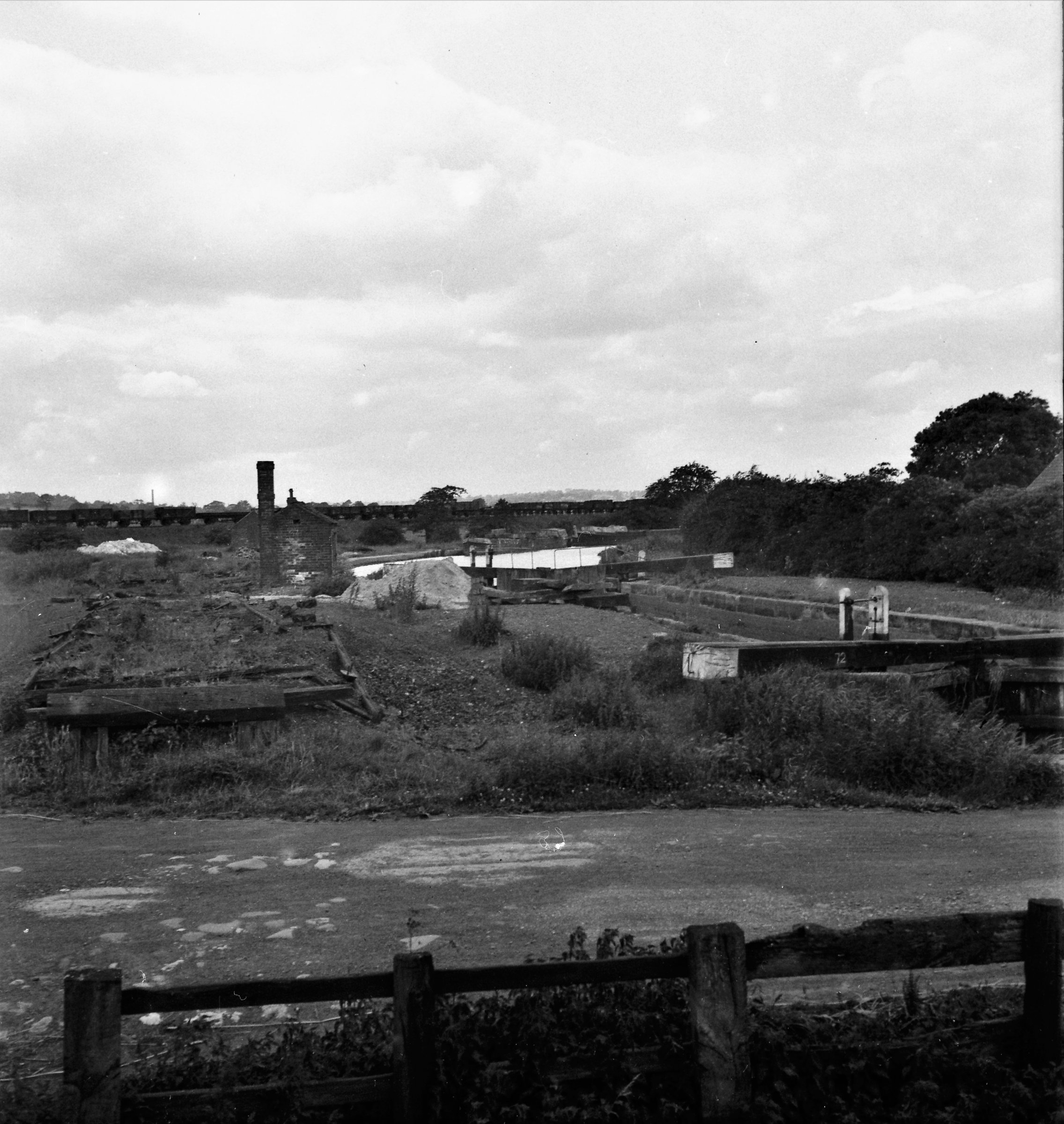
Whilst much of the Nutbrook Canal was closed to traffic, the bottom 3 locks were retained to serve the Stanton Ironworks. The attached image has been captioned as Erewash Canal, Shipley Branch. This image taken in June 1947 appears to show the bottom lock on the Nutbrook, but the lock gear is of interest. This type of gate paddle gear was to be found elsewhere. In Peter Stevensons book, Lock 1 is very derelict and missing the gate paddles. So is it the same place? Another point is more of the ironworks should be seen in the view, but then the angle may not be right for that perspective. The lock on the Erewash was called Junction Lock, but the railway lines appear not to fit the perspective again. Perhaps it is again a case of lenses and roll film cameras. The number 72 on the beam is another clue. But which series it fits is another conundrum!
-
Any tours of the Lock planned?
-
A world moving on happens often in an short period of time, 50 years, a year, a day even a minute could have that significant moment of change. But moving on for the good or the bad is often a topic for discussion, debate or even argument. It could be said that the IWA proposals had no chance of success because of the road lobby in British Parliament at that time. Modern canals have many supporters and it is plausible to expect future positive changes to the canal network. But Macpoint 005 is right that the world has moved on in one respect, many canals in England & Wales are managed by the CRT and their lies a question to be answered. How effective are CRT in managing change, managing repairs and in effect anything else? In Manchester, I understand there is a proposal to restore the Manchester & Salford Junction Canal. With much of the structures being in place, a report has been prepared recommending this move.
-
For those that look at the CRT stoppage website, there is so much information that strict search criteria need to be employed to find anything useful. The stoppages mentioned are critical to where boaters and hire boaters may venture, though. It would be nice to think that some might venture along waterways lesser used like the Tame Valley on the BCN, as Aston Locks has been specified in the CRT notice: From Date: 4th June 2018 at 08:00 To Date: 20th July 2018 at 17:00 inclusive Type: Navigation Closure Reason: Repair Description: Work is required at Aston Lock 4 to replace the bottom gate and repair the top gate. This could not be completed during the winter stoppage programme due to the huge amount of other work that needed to be achieved across the area. Following consultation it has been agreed the Aston Lock 4 works will be carried out as a summer closure. This means we can take advantage of better weather conditions and longer daylight hours. There are also good alternative routes available via the Digbeth Branch and the Birmingham & Warwick Junction Canal. During the closure, additional work will be carried out at the lock to repair the chamber brickwork, repair copings and to improve the lock ladders. Starts at Lock 1, Aston Top Lock Ends At: Aston Lock 7 Up Stream Winding Hole: The junction with Digbeth Branch (Birmingham & Fazeley Canal) Down Stream Winding Hole: Above Lock 8, near Whitehouse Street The reference to the "huge amount" of work probably needs to be put into perspective. Is it down to the misfortune of unplanned engineering, planned engineering or staff cuts?
-
That is interesting to see Marsh Lock had been used. Is Weston Point Lock still available? Of course such routes are only available for craft that comply with Manchester Ship Canal rules and regulations. Such stoppages must be concern for the hire boat companies as they find less routes available for their trade.
-
With the collapsed culvert on the Leeds & Liverpool, the problems on the Peak Forest and the Middlewich Breach are there any more? It would appear the fates have contrived to block several important cruising routes...
-
 In 2015 the late Laurence Hogg made this post. It is a testament to his tenacity to record, understand and preserve the past.
 -
I wonder if Peter X has explored the Croydon Canal, at least looked at the Reservoir.
-
Laurence was one of those rare individuals that cared about transport, and his interests spanned more than canals. Yet it is through canals and especially canal history this forum has had the honour to record his many observations. His challenges to get canal structures better recognised were just one of the many canal activities he was involved with. Certainly boating was a passion that took him to many parts of the country and sometimes on extreme cruises. It is difficult to find a single legacy which he has left, as it is not one but several where his influence and attention has contributed across the board. Certainly he will be missed!