mark99
-
Posts
8,569 -
Joined
-
Last visited
-
Days Won
8
Content Type
Profiles
Forums
Events
Gallery
Blogs
Store
Everything posted by mark99
-
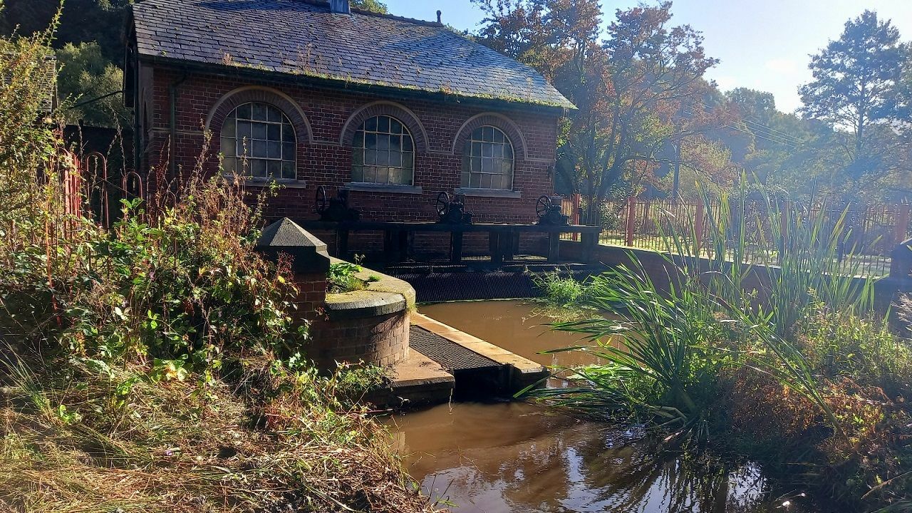
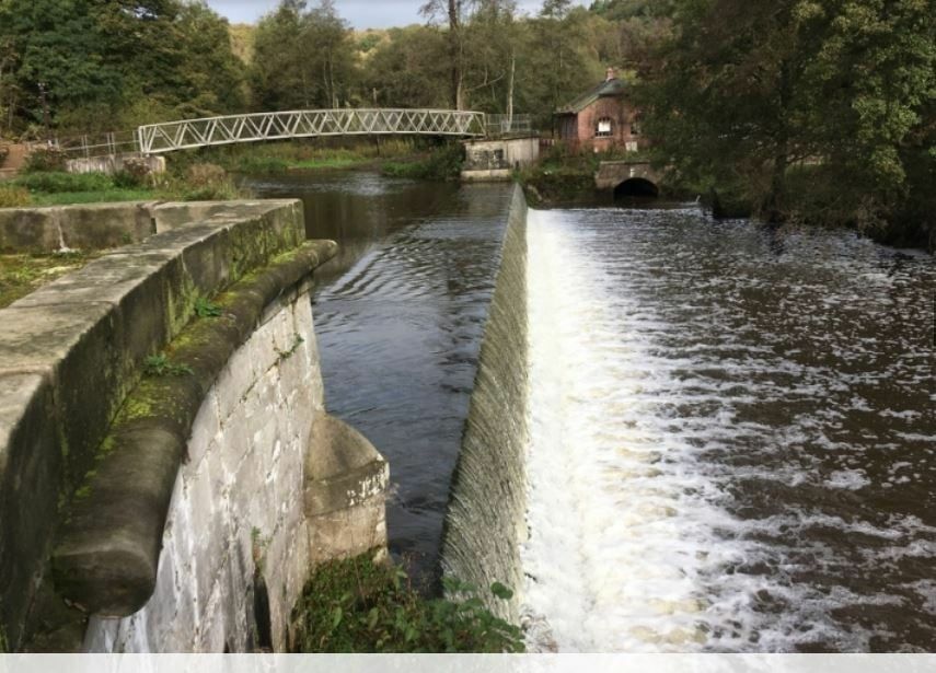
Thanks. The fish pass is now complete. Unfortunately it silted up soon after the trumpeting faded away. It took about 18 months for them to de-silt it - which was done last summer. It sits inside/under the pump house - it also has a camera tracking any migration (red cross). Upper and lower entrances to fish pass shown. Yes the canal route is clearly visible in quite a lot of locations.

-
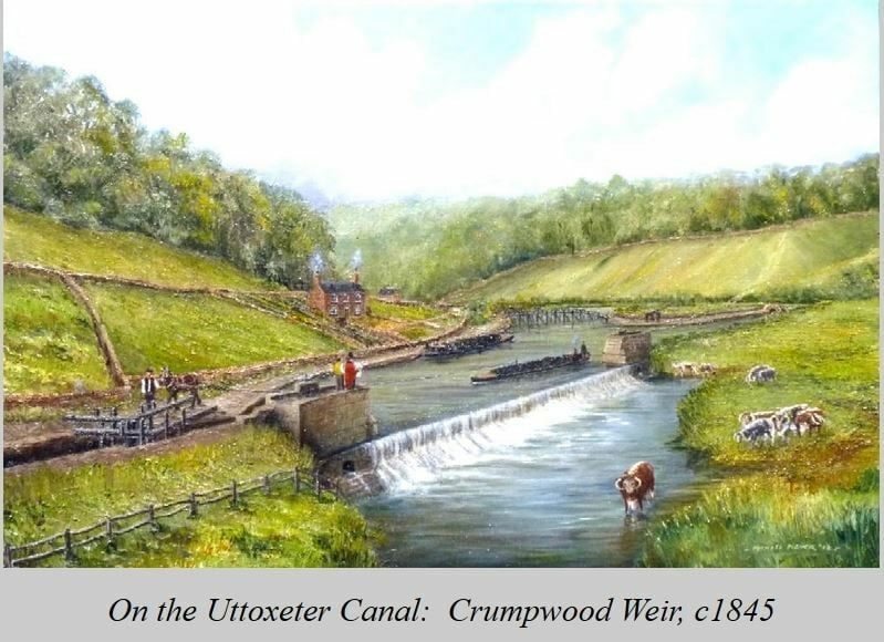
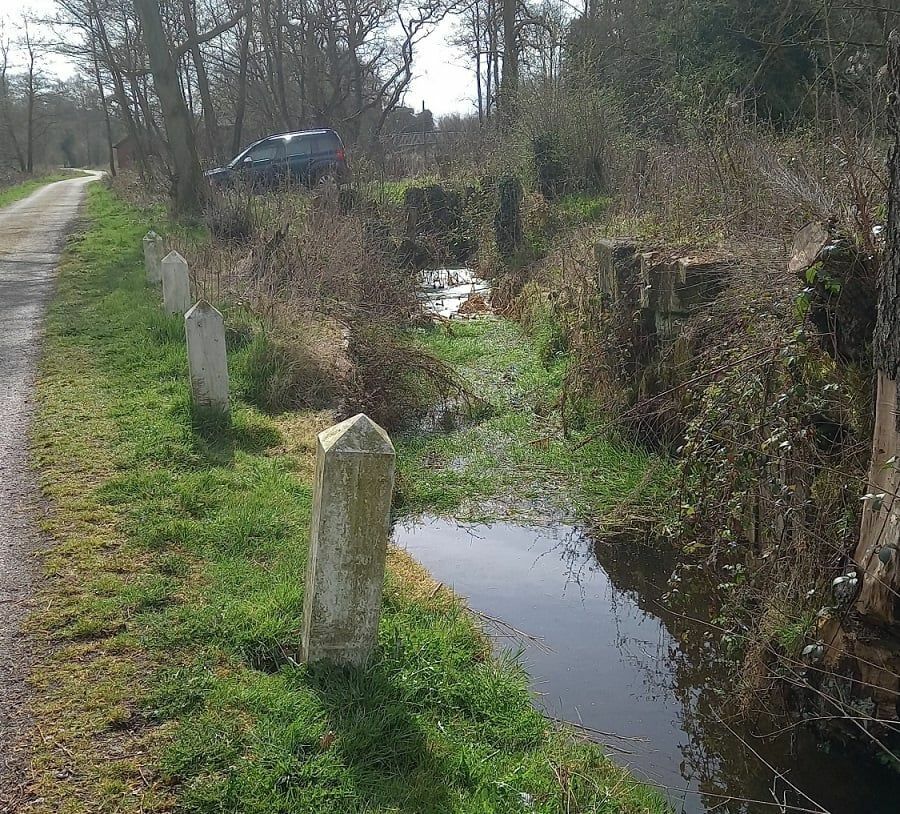
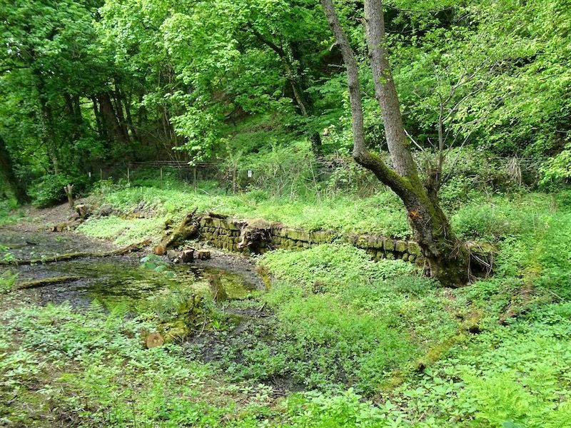
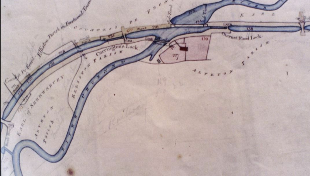
If you leave the Station - turn left on the rail track, under the bridge and it's on the left towards Crumpwood Weir. The cranked over fence is the base of Alton Towers. A bit further on and the bed of canal is very clear and an old flood lock too (Carringtons Lock) one of a pair used to cross the Churnet (see below).
-
Be my guest Bucc. Thank you. One forgotton Wharf that leads up a hill (Slain Hollow) to Alton Towers.
-
Yes please. I can do it from your maps on your site?
-
Thanks Tim. Yes seen that I thing Bucc had a similar one for just Canals. I think what I'm after is prob too specific. Looking at a bit below the farm here in Alton. There where two local wharfs (Mill wharf and a wharf for Lord Shrewsbury) and an alledged weir from Churnet into the Canal.
-
Thanks bucc. I tried both Waterstones and the Canal Bookshop Audlem. Both out of stock.
-
Does anyone know where I could view the original route of the Uttoxeter canal in some detail? I guess a plan must have been part of the Act?
-
Was in a book - Land of the Churnet.
-
-
Never been in there. The station at Alton is cute.
-
Great stuff. I walk my dogs down that railway route most days through Alton. Glad to say the railway track was not turned into a road. Consall is still fairly isolated.
-
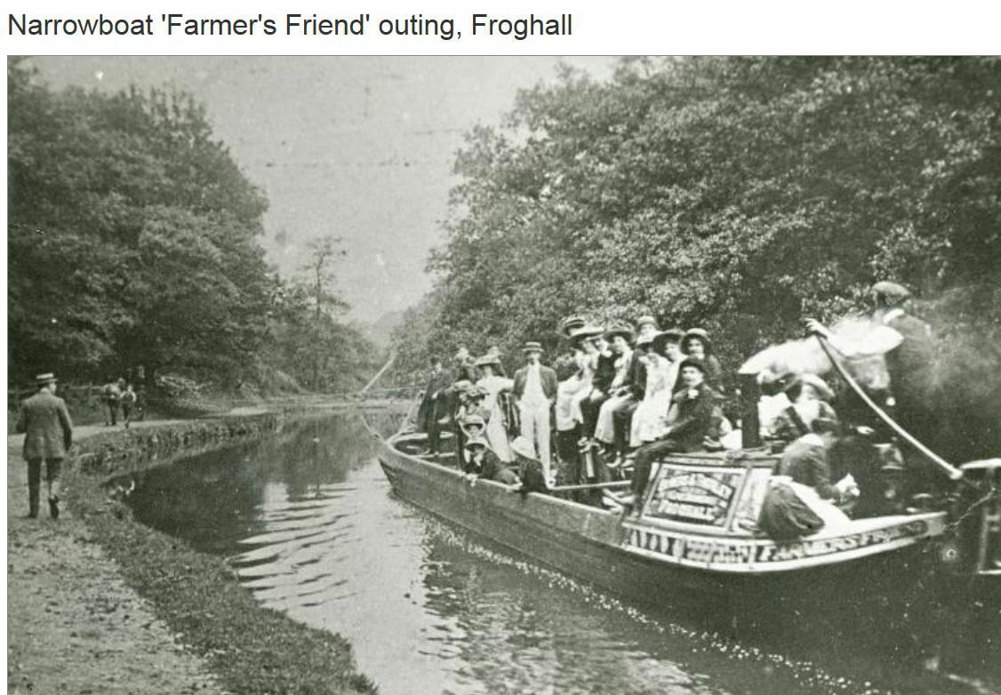
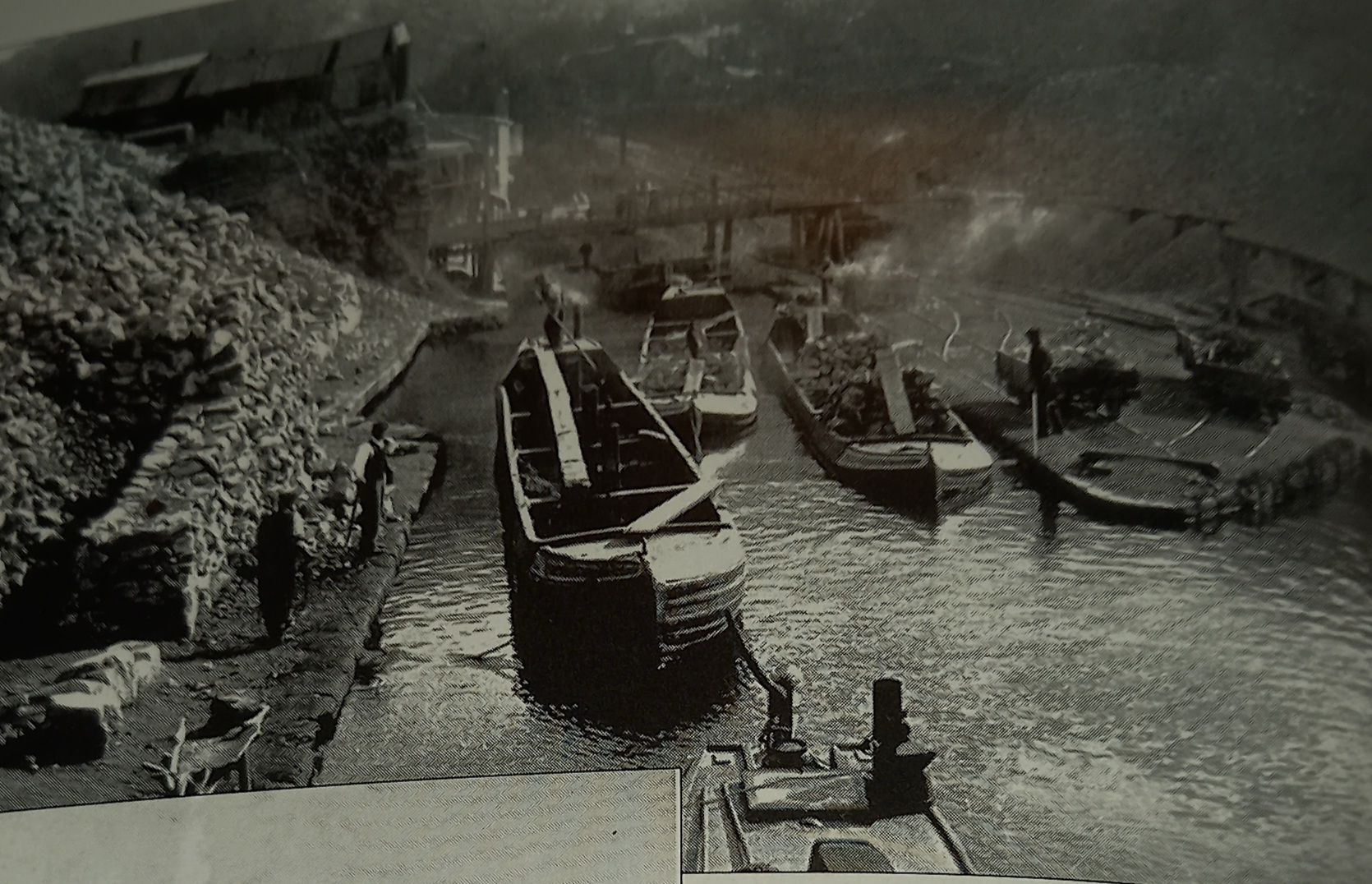
This one was 1905
-
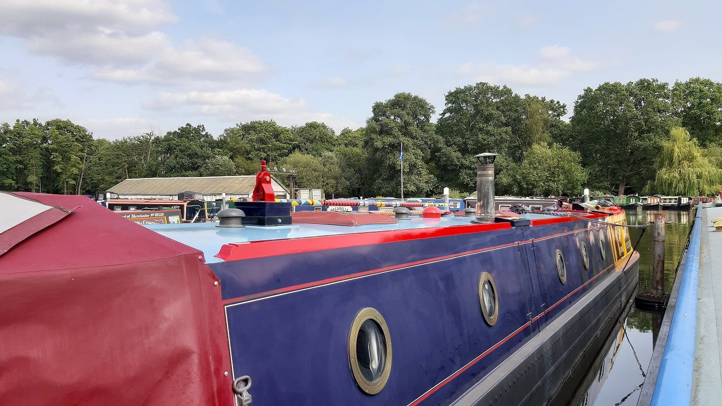
I have a 22 year lease for sale at Pyford Marina Surrey if anyone is interested. It takes a 70 foot boat. Electric and water stands right next to boat. From there, you can get on the Thames in a few hours. PM me if interested. I'm off up north to a mooring nearer my farm hence the sale. I must add it's non permanent residential. Available 1st May 2023.
-
The caption only states turn of the century.
-
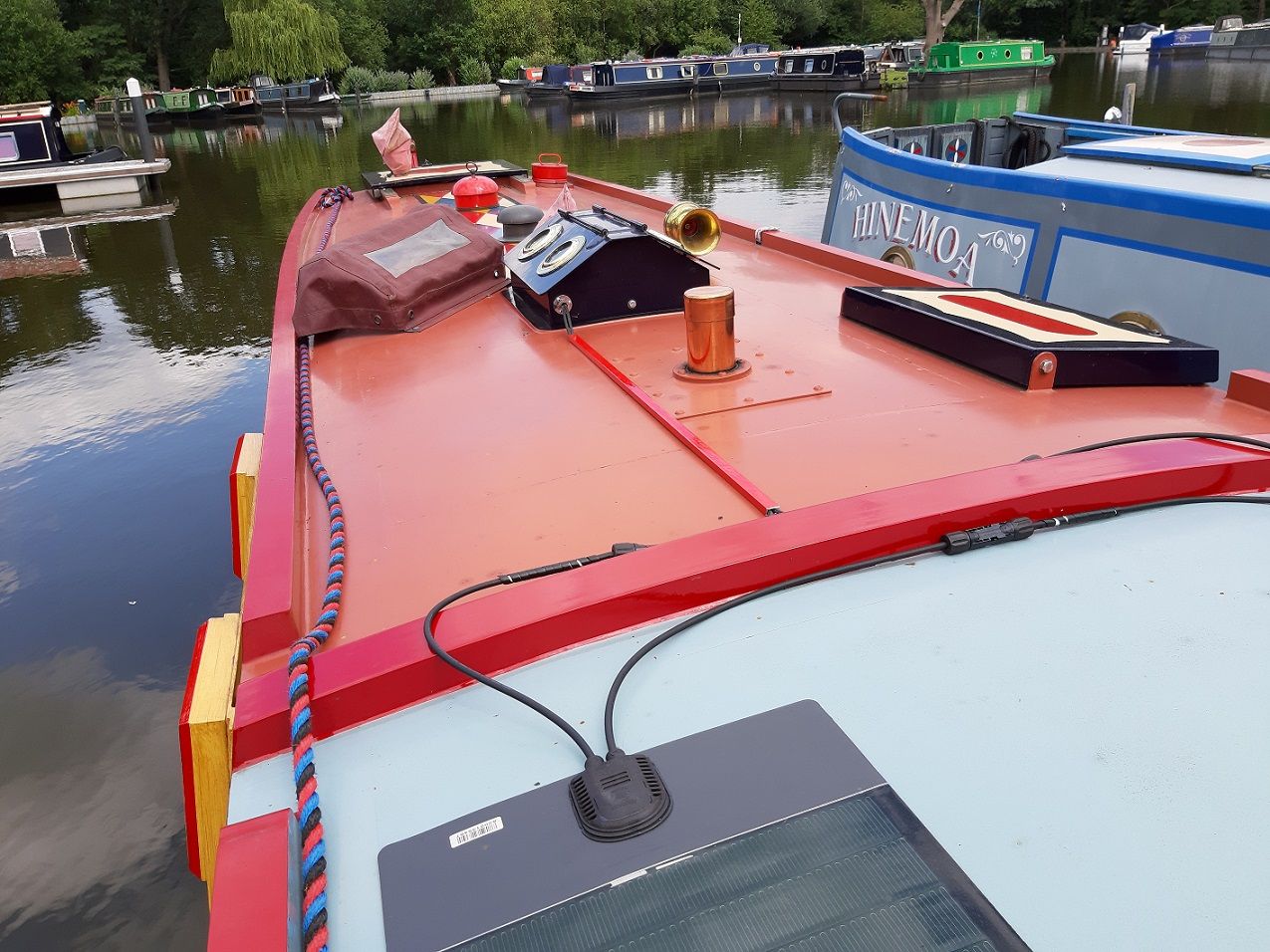
I have a mooring not far from there.... circ 2 MILES I've not put my bote on it yet. Mine is very rural however.
-
According to the canal guide I use, the Caldon Canal is called that as, in the original Canal Enabling Act - giving permission to build the canal, there was a spelling mistake. It should have been "The Cauldon Canal". A major canal cargo was limestone from Cauldon Quarries to Froghall (via crude railway), then out on the canal. However our local historian advises "Cauldon was spelt both with and without the 'u' in Church records as far back as the late 1600s. Maybe more of a spelling choice than a spelling mistake? Similarly Alveton/Alton - there was no point where the name officially changed"
-
Lots of dosh needed. Probably a flood risk? https://www.rightmove.co.uk/properties/127433051#/?channel=RES_BUY
-
Someone told me they thought it was a unique arrangement. I said it's not but struggled to come with an example!
-
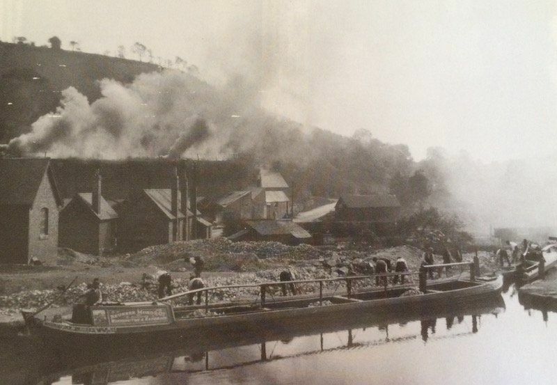
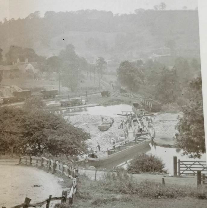
 Not sure if these been seen here before. Estimated date of first one - first half of 1930's?
-
Looking for examples like this - lock either side of river (Old Uttoxeter Canal). Can anyone think of one?
-
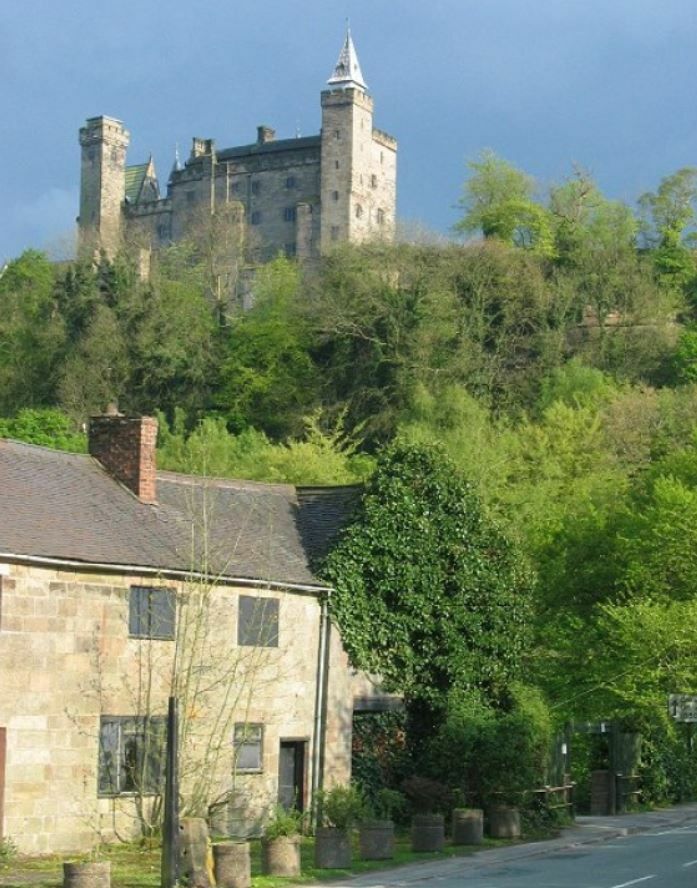
Alton, Staffs also has an old castle built originally in the 12th Century. Plus it had the canal run through it.
-
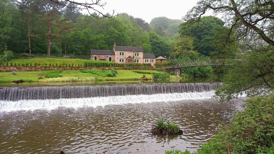
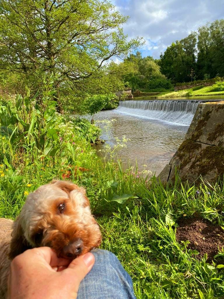
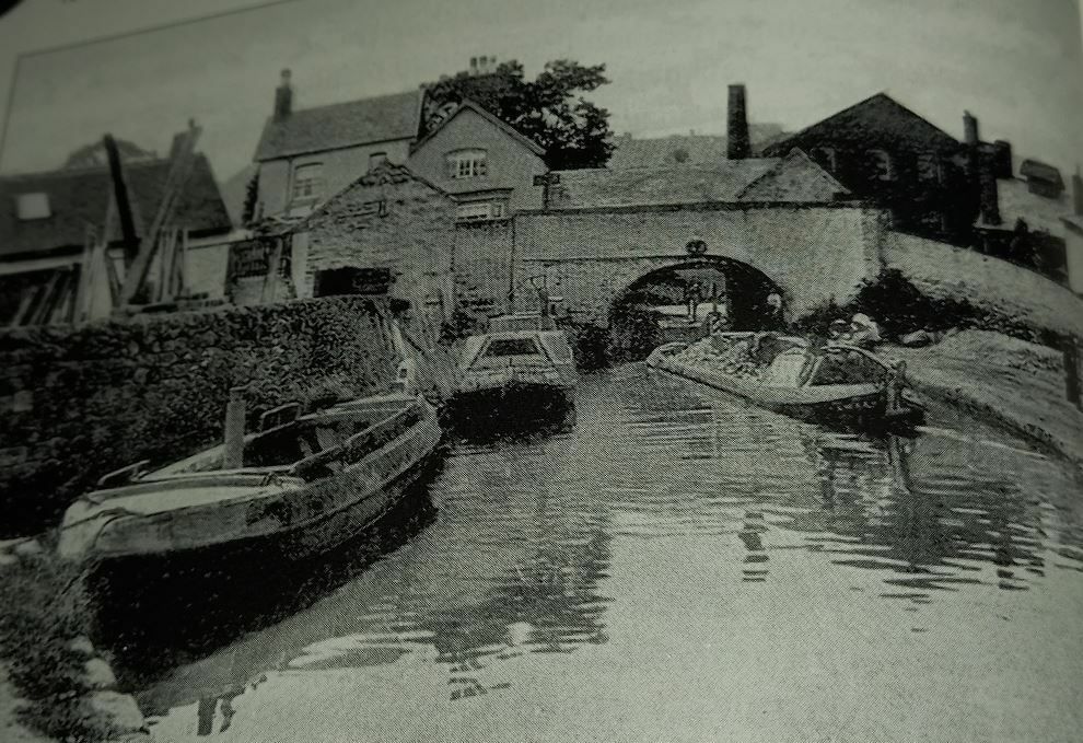
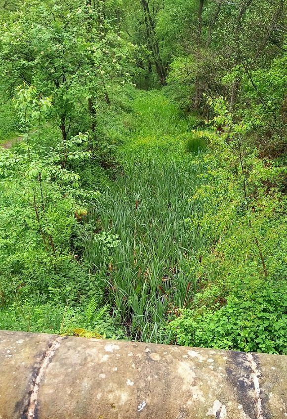
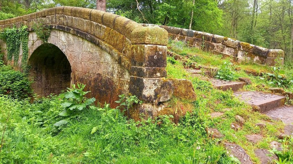
The Alton cottage (at Crumpwood end of Alton) was originally built as the weir keepers cottage in around 1810. The canal (Uttoxeter) opening ceremony was held at Crumpwood in September 1811. The images below are very close to the cottage. The only Uttoxeter Canal bridge still in situ.