oboat
-
Posts
355 -
Joined
-
Last visited
Content Type
Profiles
Forums
Events
Gallery
Blogs
Store
Everything posted by oboat
-
This may help APPENDIX 1 Definitions For the purposes of this document, the following definitions will apply: Broad waterway: a navigation constructed to accept craft with a maximum beam between 2.15 m (7’1”) and 4.35 m (14’3”). Constructed channel profile: the cross section to which the channel was originally constructed or subsequently intentionally enlarged. Craft gauge: the maximum length, beam, draught, and air draught of craft which it is currently intended should be able to pass through the channel and structures (e.g. locks, bridges) of the waterway. Constructed gauge: the craft gauge of a waterway as originally constructed, or as reconstructed subsequently with the intention of changing the craft gauge. Fairway: the part of the channel in which craft passing along the waterway normally travel. Freight waterway: a navigation principally available for the passage of freight vessels. Narrow waterway: a navigation constructed to accept craft with a maximum beam of 2.15 m (7’1”) or less, not including canals designed for passage by tub boats only. (In addition, the Herefordshire & Gloucestershire Canal is considered a narrow waterway) Pinch point: a structure or part of a structure, with no significant heritage value, which has been constructed or reconstructed, or has deteriorated, to dimensions which do not allow the passage of vessels of constructed gauge. Waterway: an inland navigation, or length of an inland navigation, having a constant constructed gauge, or a constant historic craft gauge where the craft gauge is not defined by construction. Wide waterway: a navigation accepting craft with a maximum beam greater than 4.35m (14’3”). 2 Standard Gauge for Traditional UK Inland Craft The constructed gauge varies among waterways, and this policy statement seeks to ensure the protection of this gauge as a minimum in each case. Subject to paragraph 3.2, for structures being built new or rebuilt (but not for structures being reconstructed for conservation purposes or being repaired), the standard craft gauges for narrow and broad waterways are: Length: 22 m (72’2”) Beam: 2.15 m (7’1”) for narrow waterways, 4.35 m (14’3”) for broad waterways Draught: 1.3 m (4’3”) for narrow waterways, 1.5 m (5.0”) for broad waterways Air Draught: 2.2 m (7’3”) for narrow waterways 2.7 m (8’10”) for broad waterways 3 Standard Gauge for Inland/Sea UK Intra-European Craft Class V Length 95m (312') Beam 11.5m (38') Draught 2.7m (8' 6") Air Draught 6.7m (22') Class IV Length 80m (262' 6'') Beam 9.5m (31') Draught 2.5m (8') Air Draught 4.4m (14' 6') 4 Minimum Channel Dimensions a) Width and Depth: In slack water lengths (e.g. canals and some canalised sections of river navigations), the minimum dimensions of the channel required to accommodate craft of gauge beam B and gauge draught D are: • Depth of fairway: D + 20% or 0.3 m, whichever is greater • Width of fairway: 2.1 x B or 6 m, whichever is greater • Depth at landings, wharves, and moorings: D + 0.2 m • Depth at other banks: At 1.0 m from every bank, or where there is a bank-side vegetation fringe at the waterside of that fringe, no less than 0.6 m. Where protection is installed on the towpath bank, the depth at this bank shall be the depth the protection was designed to make possible. The depth at the non-towpath bank shall be deep enough to achieve the required fairway dimensions. These dimensions will need to be increased in river sections, and other sections with significant flow, to allow for the effects of current and changing water levels. b) Cross Section: In lengths where the channel is not restricted by structures or other local features, the ratio of the water cross section to the wetted cross section of a craft of craft gauge should be no less than 3.5:1 as an absolute minimum for short lengths, but 6:1 or greater is preferred, to reduce erosion and adverse effects on fringes of vegetation. c) Channel Lining: Where new channel lining is installed, the depths and channel cross-section it creates should comply with the above requirements for craft gauge beam and draught. d) Tidal and River Navigations: On tidal navigations and sections of river navigations not covered in a) above, including those which may have no constructed gauge, channel maintenance specifications should be derived for each waterway, in consultation with users, so as to facilitate safe and efficient navigation. e) Bends: In all cases, fairway width on bends should be increased as necessary to ensure that two vessels of craft gauge can pass safely. f) Headroom On narrow waterways 2.8 m (9’2”) headroom is preferred although 2.5 m (8’2”) would comply with this policy. On broad waterways 3.0 m (9’10”) headroom is desirable. The required headroom should be provided over a width of at least craft gauge beam. For safety reasons IWA considers that there should be at least 0.3 m (1ft) clearance above the craft air draught.
-
Tonic required. Send in your photos of what is nice on the waterways now.
oboat replied to DandV's topic in General Boating

-
Tonic required. Send in your photos of what is nice on the waterways now.
oboat replied to DandV's topic in General Boating
We were surprised at the number of boats which did not go up to the top which we found to be very interesting
-
Good point. However the EA don't seem to see it that way. As pointed out only St Johns is significantly less than 15ft. The flat base plates which protrudes further than the hull sides is also a valuable comment. It possibly nullifies the comment "I never hit a gate". How would you know if the contact was below the waterline & did not affect steerage significantly? Both comments would seem to reinforce the need for gates to be fully open!
-
Tonic required. Send in your photos of what is nice on the waterways now.
oboat replied to DandV's topic in General Boating
This reduction in the canal width was done by CRT without any consultation with the canal restoration group, yet they were the group responsible for saving it when they did the restoration. -
Tonic required. Send in your photos of what is nice on the waterways now.
oboat replied to DandV's topic in General Boating
1st Dec 2013 before all the demolition took place.
-
Tonic required. Send in your photos of what is nice on the waterways now.
oboat replied to DandV's topic in General Boating
Downham Market (over the bridge) is the best station for a trip into Kings Lynn. -
And the constructive contribution??????????????????????
-
I would suggest you take a look at the IWA Webinar item on lock gate repair mentioned above. All will be explained!
-
So to get back to the point of the original question! Which locks do you feel could benefit most from such an installation & why?
-
The poles in question are lightweight Aluminium which rest on a hook on the beam and the toe board of the gate when not in use. Unfortunately I can think of a myriad of alternative uses for such items.
-
CHM Restrictions/Opportunities Unfortunately like most things Cultural Heritage Management/Interpretation is subject to fads of fashion, and local officer personal (often armature) interpretation. Actions which may be supported in one location, can be rejected (frozen moment) in another. Thus, although I have suggested Marsworth (adjacent power) as an example for this proposal it could be developed for use in other suitable One Off locations with high usage and/or pumping costs. The badly leaking locks on the L&L spring to mind. Not waterway related but the more observant may have noticed that buildings with new extensions are beginning to appear where the new roof is subservient to the original for no apparent reason. This CRM fashion seems to have developed about 15-20 years ago in the Channel Islands where it has created some ridiculously malformed buildings.
-
All the Locks in question had staff, all very old school. At one he was on a lunch break but still stood over us and made certain we used the long pole on the 2nd gate. It was a fab trip, in fact our best on the river to date.
-
Good points, & that was my principal concern (the Lee is the same but no Man in Van) we experiences the CRT man in van on our last trip pre CV19. In fact we met him so often he almost became a family friend. We were very impressed.
-
Please read the question again and add approx to 14ft Then provide a constructive response.
-
Can you please read the question again.
-
This year I spent the summer on the Upper Thames and was impressed by the EA system of not allowing nb on its 14ft beam locks to pass through a single gate. The reason given being, the potential damage to the unopened gate leaf, which I am certain we can all relate to. During the recent IWA webinar CRT made comment about (worth a look). a). The rising cost of back pumping resulting from leaking damaged gates on wide locks. This potentially increasing again due to rising fuel costs. b). The high cost of access to install new gates. c). Recently the number of damaged gates had got to a point where CRT were having difficulty keeping up with the replacement need. One potential aid in reducing gate leaf damage from signal leaf opening on a double lock is to electrify selected locks where the potential benefit could or would outweigh the perceived high cost of electrification. Note: Other benefits could also occur but at present I am only concentrating on costings. Marsworth top lock colander struck me as a good candidate for consideration! Can any body identify other ONE OFF sites worth considering? I do have other sites in mind however I would be grateful for informed member suggestions. Yes, I understand just doing one lock could have other consequences and I am also aware of potential CHM ramifications. But this is just a start point? Thanks.
-
Some very good points made by others. This is not a new proposal it was publicised back in 2020 when it produced an extremely concerning knee-jerk negative reaction from an RSPB officer who just opposed it and any other proposal on principal alone. I have been looking into Ofwat North-South Water Transfer (NSWT) program for some time and no question that this Barrage proposal should be looked at in conjunction with the NSWT and its proposed reservoir land take of extremely valuable agricultural land adjacent to the Black Sluice. You can bet your bottom dollar that the RSPB would also object to that, but then so would I. All the flood control & water supply agency’s claim to be coordinating constructively but it don’t take much to see most of it is lip service and as the EA seems to be an extension of the RSPB & the Angling Trust this is not difficult to understand. Rather than produce a great long diatribe I will pick up on some of the comments by others 1). Roland, Jen-in Wellies, MtB, Dav &Pen, LadyG, Jerra Spot on. The rate of tidal excretion in the Great Ouse below Denver is lifting the river bed level to a point where seasonal flushing is not allowing a combination of a King Tide & high fluvial flows to clear the river channel so that sufficient water held in the upstream Washlands can not be discharged in what should be low tide discharge time. In great part this has been found to be due to Washland water taken into the RGO Cut Off Channel being diverted from 1971 into the R Store for Essex water supply. Ironically as I understand it, several coastal IDBs have had to extend coastal discharge pump facilities out into the Wash to combat tidal not fluvial excretion. Note: Excretion levels are said to be less than sea level rise. In addition both the Great Ouse & Welney Wash lands (which are connected) are now in a situation where they are becoming compromised by Tide Lock and the additional fluvial flows resulting from global warming and £40 million has just been spent on lifting the Middle Level Barrier Bank of the Ouse Washes. A barrage could also have made that unnecessary. 2). Athy, Mike Tee The only way for the Wash remaining essentially as is, would be to construct a tidal defence barrier. Yes it will be expensive, yes it will create disruption & yes it will effect past NHM (habitat) challenges. However the cost of protecting the miles & miles of existing coat line will be considerably more costly. It’s just that you and others will not see it. It will be hidden in Environmental, Social, Heritage, and any number of Feel-good Grants distributed via the RSPB, LA’s, IDB’s Harbour Trusts and a myriad of others. It has already started. In 2018, 4IDB spent over £2 million on lifting Wrangle Wash Sea Bank all paid for by small grants and public donations. The Boston Barrier White Elephant cost over £100 million between 2019-21. Few will know the cost of other Sea Defence works in process. Or alternatively and more significantly how much coastal defence abandonment do the EA have in mind! The availability of cash is only a political tool, not reality. Remember the thousands of unemployed the UK would have post Brexit. From a Natural Heritage Management (NHM) Standpoint. Anybody who doubts this must look at the destruction of the Thames riverside marshlands downstream the Thames Barrier where in a nutshell numerus small creeks have been replaced by engineering solutions; upstream Chelsea Creek (Kensington Canal) is no more. I could go on. From a local Cultural Heritage (CHM) Standpoint. Just look at the CHM Vandalism which Kings Lynn as been subject too (Mill Fleet, Purfleet, South Quay and the R Nar) and it has more to come unless some positive as opposed to passive action is taken. Wisbech has also benefited from some lovely new concrete & brick work along what was open riverside, not to mention the recent Welney Rd flood prevention works partly due to Tide Lock. 3). robtheplod, Lodden I think you have probably seen the artist impression with a great highway, which the RSPB have made much off, the promoters say a great highway is not proposed. When I looked at this some time back a rail link did seem the way to go and it could link in with the Kings Lynn Docks-Hunstanton rail proposal. However I do have some difficulty with the port proposal. My own feeling is that such a Barrier would permit a total rethink of East Coast (including Hull) flood prevention & water supply. It should not be looked at in isolation or dismissed out of hand because a particular charity puts its donation list before the national interest or the interest of local inhabitants who stand to be deprived of a home.
-
This post cannot be displayed because it is in a forum which requires at least 10 posts to view.
-
This post cannot be displayed because it is in a forum which requires at least 10 posts to view.
-
'pointless' Need some help collecting narrowboat data
oboat replied to toppy007's topic in General Boating
1) This also applies to my boat. 2). It also needs N/A (Not Applicable) or don't know for a number of questions. 3). When was B S Cert. & similar. Should be how much time remaining. 4). Date. Year only would probably more helpful. -
Are, They must be the boats I was thinking/talking of when I started this thread.
-
Exactly my point & the Ashby was at the top of my potential list, (& part of the Coventry) you mention NOT through the narrow stop lock? I was under the impression the narrowing like the Thames Lk at Oxford & the Wendover narrows was a late addition? Re the Hampton Boats, where did they operate & do you know the beam?
-
Exactly my point & the Ashby (@ 30miles) was one area at the top of my potential list plus the 8 miles on the Coventry to the large city market & its industry would certainly tempt the beam tweaking of local craft which maybe could even get some way down to Atherstone top lock. However you mention NOT through the narrow stop lock? I was under the impression the narrowing like the Thames Lk at Oxford & the Wendover narrows, was a late addition? Any comment on other restrictions? From memory I feel the entry to Coventry Basin itself was a bit tight but most other bridges & what still exists of the Ashby stop lock are generous when compared to say the W&B ? Re the Hampton Boats, I am not familiar with them, where did they operate & do you know the beam?
-
Tonic required. Send in your photos of what is nice on the waterways now.
oboat replied to DandV's topic in General Boating
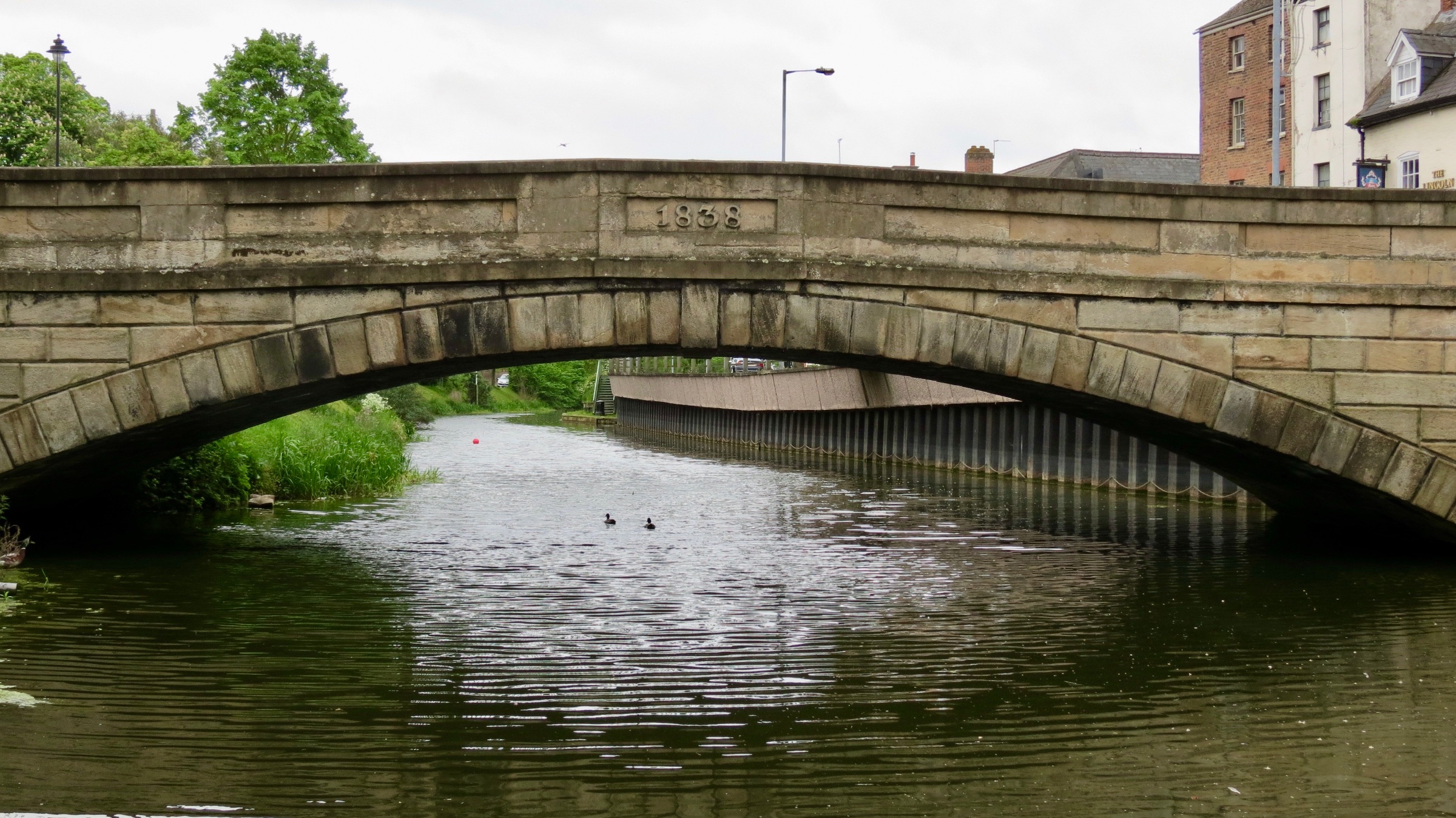
Spalding High Bridge 19 May 2016