
Search the Community
Showing results for tags 'floydtilla'.
Found 3 results
-
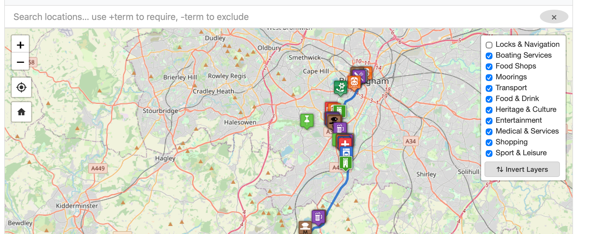
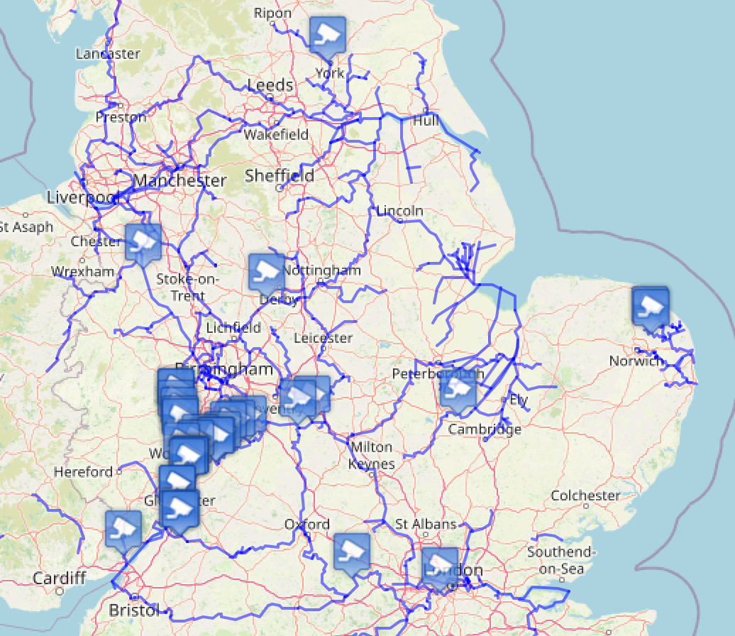
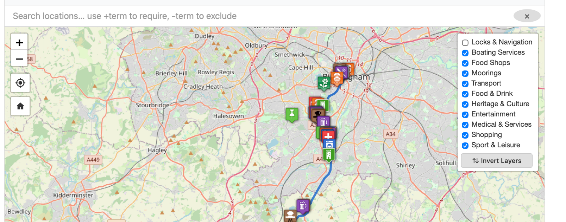
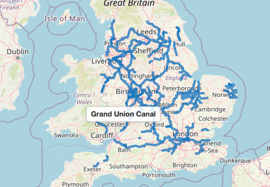
Maps Update - www.canalmaps.co.uk Just wanted to share a quick update on what we've been working on since January — we've completely rewritten the maps from the ground up with all new code, so it's been quite an undertaking! We already have thousands of new locations added, thousands more ready to go, and around 1,000 on our fix list that we're working through. It's very much a living project and we're updating it every day. One of the new features we're quite pleased with is the Layers option — you'll find it in the top right corner of the map. It lets you filter what you see, so if you only want to look at Moorings or Food Shops you can hide everything else. Navigation info for Locks, Bridges, Winding Holes etc. is switched off by default to keep things tidy, but it's just one click to turn it back on. We've also done a lot of work on the GPX files that draw the blue lines on the maps. We've stripped them right down — a file that used to be 7 MB is now 2 MB, and many are just a few kilobytes. Should make a real difference on mobile. From the front page you can see all the canals we currently cover — hover over any of them to see the name, or click through to the full detailed map. As always, happy to hear any feedback or suggestions from fellow boaters!
-
-
Hi All We have started a new blog that starts with our purchase of an X Black Prince hire boat and covers the process and the mods we had made to the standard configuration. If you are looking at buying an X hire boat this will hopefully give you an idea of the process. http://www.floydtilla.co.uk I will be writing blog posts covering our experiences and we learn about owning a narrow boat. Thanks David, Sonia and Family