Heartland
-
Posts
3,393 -
Joined
-
Last visited
Content Type
Profiles
Forums
Events
Gallery
Blogs
Store
Everything posted by Heartland
-
In the past the original lock on the Stratford upon Avon canal at Kings Norton was wide until replacement by the Guillotine Gate Lock There was at least one barge that navigated from Birmingham to Hockley Heath Then there was the Ashby made wide in parts but the lock with the Coventry was narrow
-
Sadly the pub near this spot has gone. It was a must visit canal side location with a coal fire in the winter. Another clue this image was nearby by, by George

-
It is the stone in the lock and bridge which does not fit with Tyrley as a location for this Telford canal. So other suggestions might be needed.
-
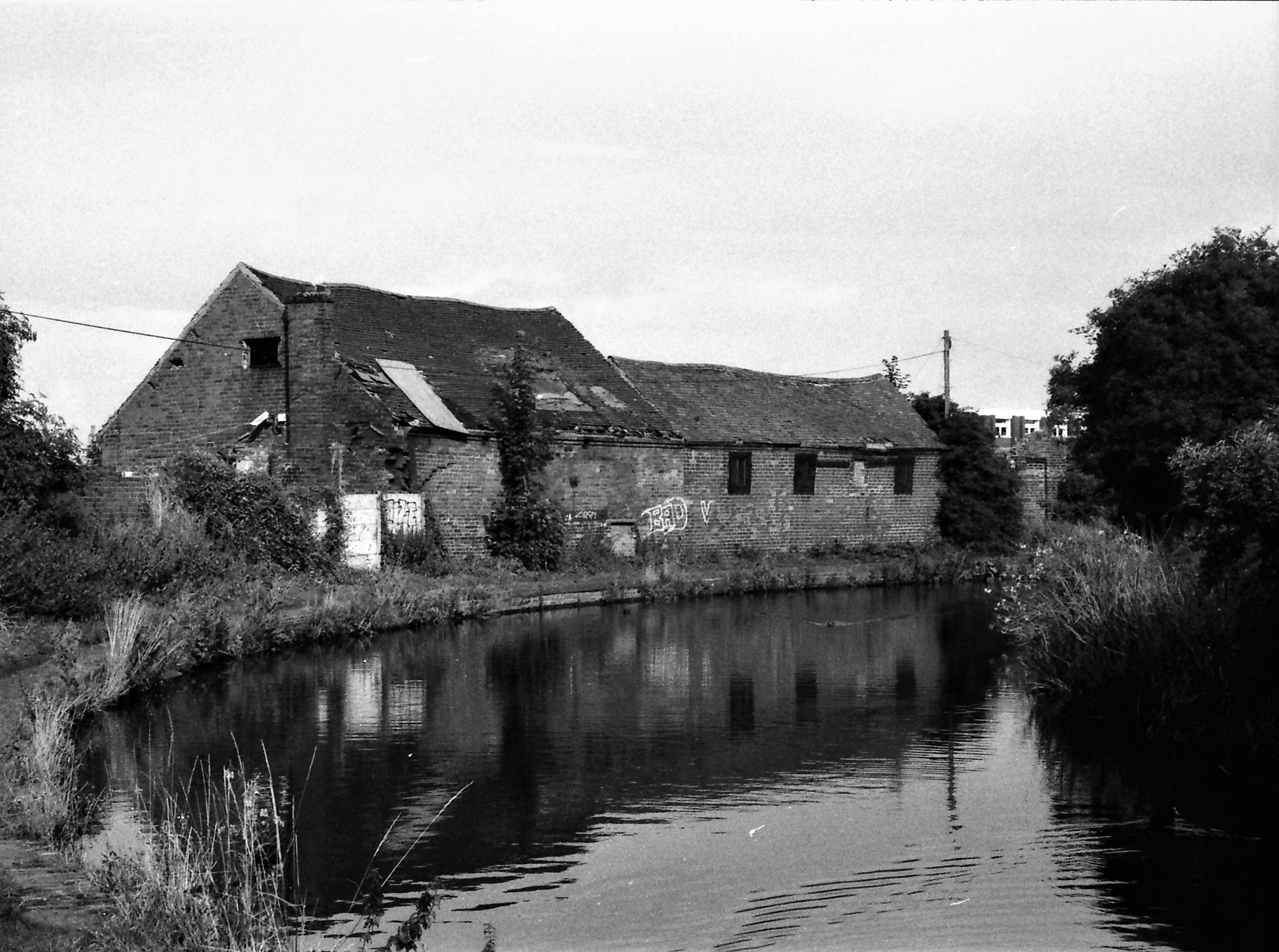
Yes well done the grey cells are definitely stimulated - is it Banks or Holdens? The proof house is seen before demolition and the railway (Oxford, Worcester & Wolverhampton) is seen behind. That railway was disused although there was a short section of track that served a wagon works at that time, but now gone. Now another Question these canal side buildings may be easy to identify they were near Sleck Hillock.
-
Fencing off towpaths is a do-gooder sort of suggestion. Why not take it further fence off all rivers as well? In reality fencing off towpaths will hinder fishing, mooring of canal craft and generally cause problems for navigation. May be the do gooder want to close all waterways and convert the all paths, into high speed cycle paths !
-
Yes "nip to" is an anagram of TIPTON now you have to work out "Proof" and may be follow the chain of thought. The nearby pub is said to be a rock pub playing anything from Abba to ZZ top. The beer used to be good too.
-
In the past the gentleman in the field might have been a roman soldier. Until 2015 the World Poohstick Championship was held near here.
-
This was an area where once one could nip to the Soap Works, or later attend a mission. There were iron works and foundries, This spot was north of an iron bridge and canal boats interchanged traffic with the railway.
-
This was an area of the BCN which may be considered an important crossroads for canals and railways and the buildings shown are proof of that !
-
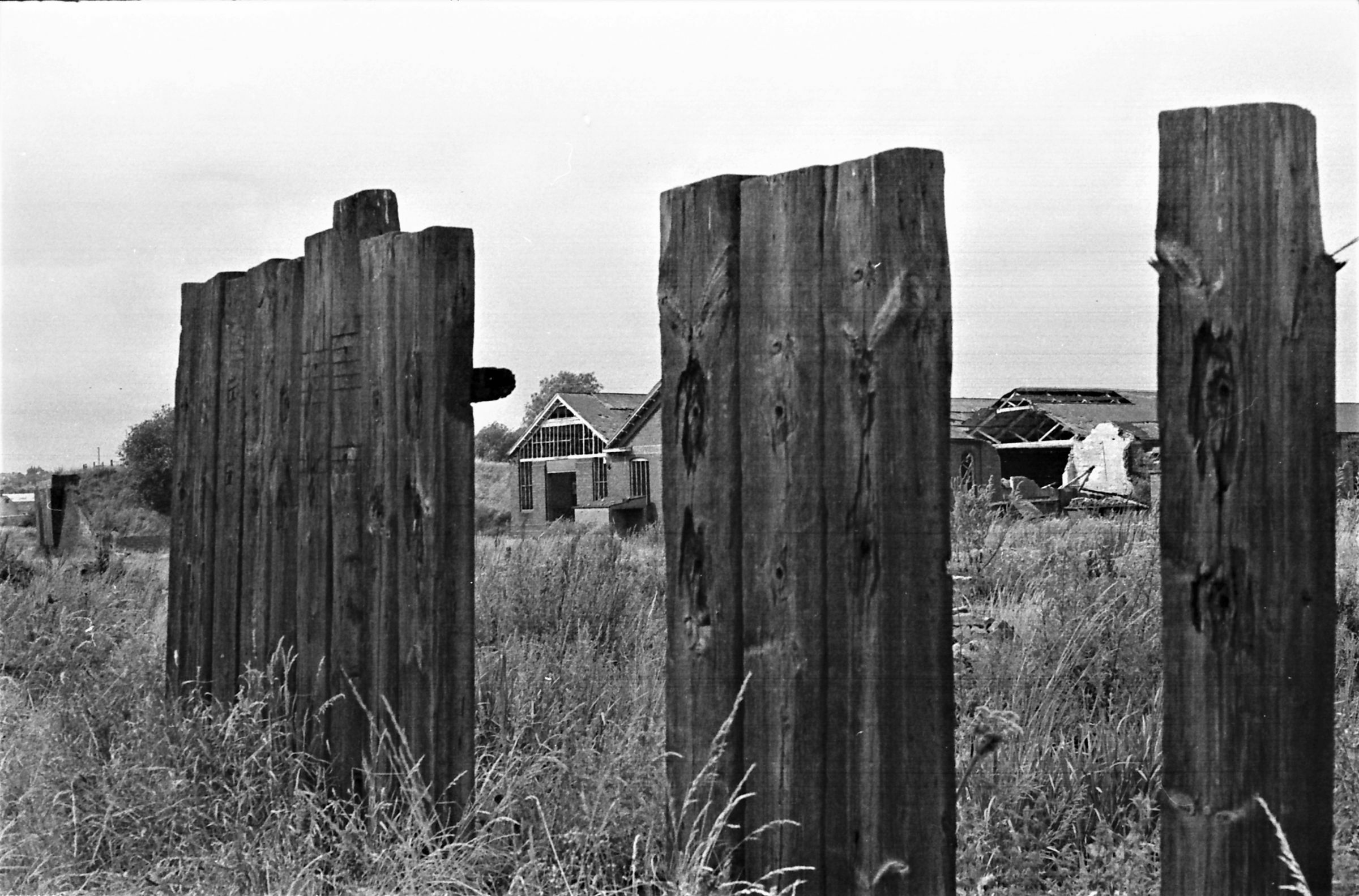
The Norton Branch was an extended basin where the Norton Springs Tramway terminated. This was a BCN owned tramway that went towards Five Ways. The route was taken by the London & North Western new branch railway to Coppice Colliery. Now another BCN question, Walking along canals where railway sidings were close by the fencing could be wood.
-
Chris Jones, is very capable of doing the sleuthing.
-
A useful perspective Mike Navvies following engineers is certainly a factor and with the Railways there were those that stayed loyal to specific contractors.
-
Some people attribute the task of canal building to the Irish Navvy, but was this the case. When the canal contractor are examined the source of labour was often more localised. And so, in Ireland with their waterways local labour would be expected, but would they travel longer distances and could they afford it? The Irish navvy found regular employment in the railway age, even before the famine, but then travel had improved on the routes from the ports in Ireland
-
Where is the Nottingham connection ?
-
Thanks to Richard Hill Norris. a Birmingham Surgeon, and the dry collodian process, photography opportunities increased.
-
I would suspect the title should be LATE, so I gather the question of date might need resolution unless of course the source of these images is known. Whilst there were coffee houses in those times a drink with a lot of milk and a concentrated coffee added is unlikely to have existed then, at least in this country
-
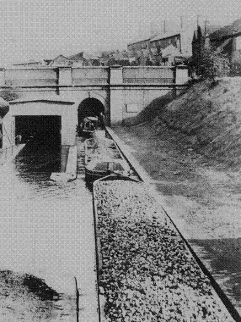
This is a view from the tunnel looking towards the top lock of the Worcester & Birmingham Canal with the warehouse on the right
- 1 reply
-
- 1
-

-
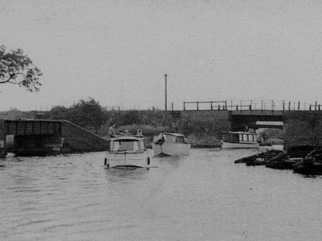
Yes it was the protest cruise, one that did nae good however. The view is at Norton Canes near Conduit No 3 where J K Jerome's father was manager, The view shows the Norton Branch crossing which the LNWR and LMS would have raised to compensate for mining subsidence associated with No 3 and No 4 pits. The main basin for Conduit No 3 had access on the far side of the railway bridge, but there was also another basin whose entrance is seen on the left. The L& H Trust site mentions possible subsidence affecting the height of the side bridge there,
-
And now another question. Where could this be ? There is a railway bridge, basin, sunken boats and the clue is "Three Men in a Boat" And something to stimulate the grey cells of Goliath!
-
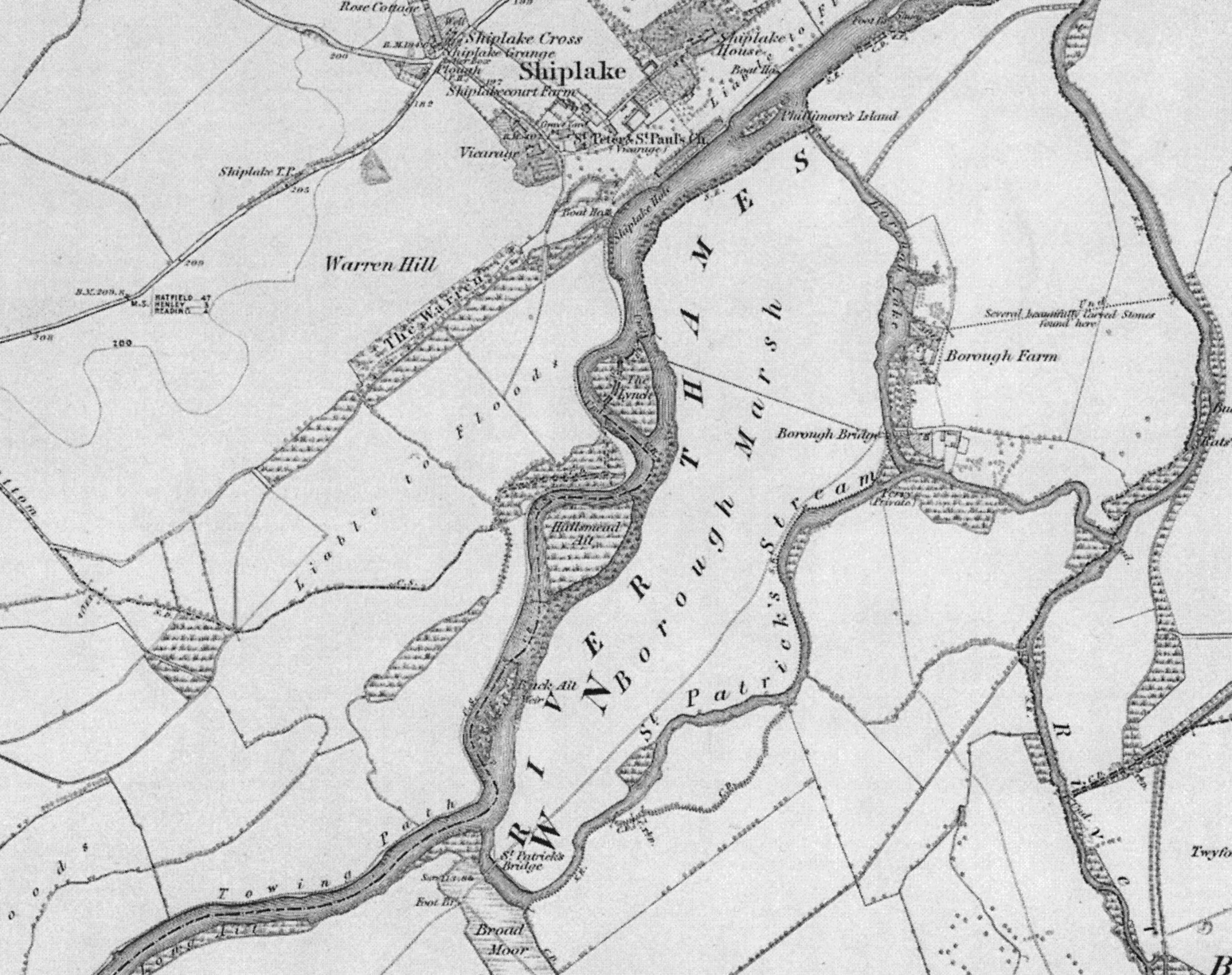
The 1872 ordnance survey also shows a towing path at this spot.
-
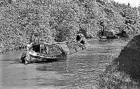
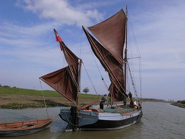
The barge has a look as if it it was horse drawn, but is this the Thames ? There was and is a Thames Barge Cygnet built in 1881, which this craft seems to correspond with.
-
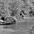
Some say it went to the USA and was found in a barn in 2007 Is this the same craft?
-
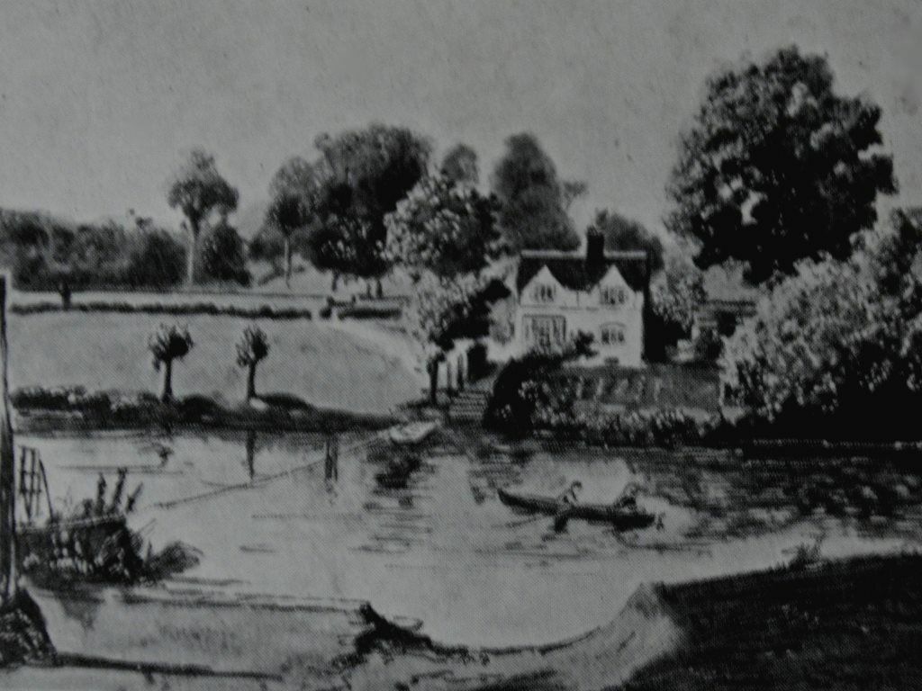
Yes Matty has it, the view is River Avon near Evesham and another case of congratulations I passed over the Simon de Monfort Bridge near Evesham yesterday, the river levels were definitely high.
-
And now another question to ponder on, this image was on a 1901 dated post card, an early post card. It shows a river ferry, but where?
-
This again seems to be in the Wharf Street area where Anderton and Mersey & Weaver had depots in the 1940's and BW inherited these depots before canal carrying ceased The gas holder would appear to be Stoke
- 1 reply
-
- 1
-

.png.a6df0a460912267bdc0c748921913086.png)